Location: Himachal Pradesh
Recommended Season: March to October
Height: 5319 m
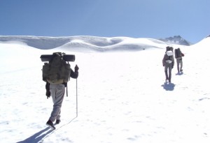
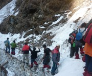
Difficulty: Difficult
The Parvati Valley is a very rocky valley of Himachal Pradesh and is characterized by many alpine flowers plantations and rocky outcrops. Mica is found in great number in this valley. The many rocky outcrops ensure that one get sample opportunity for rock climbing. The place is a back packer’s haven and thus a favourite trekking location too. People crowd to the valley just to take part in the favourite rock climbing expeditions held so frequently in the region.
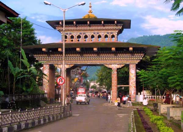
Parvati Valley is situated in the northern Indian state of Himachal Pradesh. From the confluence of the Parvati River with the River Beas, the Parvati Valley runs eastwards, through a steep-sided valley from the town of Bhuntar, in the Kullu district of Himachal Pradesh in Northern India.
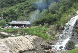
The -precipitous valley road climbs past a side valley leading to the village of Malana, Himachal Pradesh. From here, the road passes through the Sikh and Hindu pilgrimage town of Manikaran and terminates at Pulga, where the construction of the Parvati Hydel Project, a hydroelectric dam, dominates the landscape. From Pulga, the footpath climbs to a temple and small dhaba at a waterfall called Rudra-Nag, apparently after its resemblance of a water snake. Beyond Rudra-Nag, the trail ascends further through thick pine forests to the spiritual site of Khirganga (Kheerganga), a meadow at 2960m where Shiva is said to have meditated for 3000 years. The hot springs at Khirganga are extremely important for Hindu and Sikh pilgrims as well as many others who believe the waters have sacred healing properties.
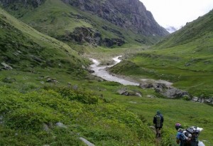
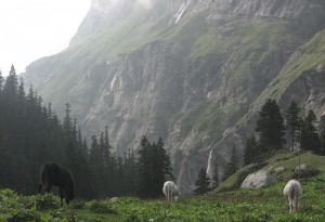
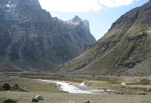
From Khirganga to the site of Tunda Bhuj (3285m) the Parvati Valley cuts a steep-sided gorge through the mountains and as the altitude increases, the thick, coniferous forest gradually makes way for patches of meadowland scattered with boulders. Several tributaries join the main Parvati River and numerous waterfalls cascade down the steep valley sides. Beyond Tunda Bhuj, the conifers continue only as far as the Basuki Nal tributary but groves of silver birch continue to line the valley, quickly becoming sparse as the altitude increases.
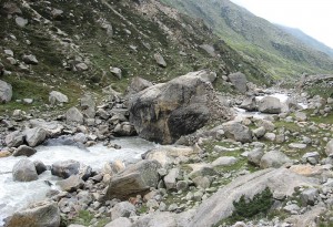
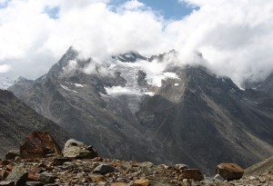
At Thakur Kuan (3560m), the Parvati Valley meets the valley of Dibibokri Nal, which climbs towards the Northeast to the Dibibokri Glacier and Dibibokri Pyramid (6400m). The area is characterised by abundant alpine flowers and rocky outcrops glittering with mica. Beyond Thakur Kuan, the Parvati Valley ascends gradually to Pandupul (Pandu Pul) where two natural, rock bridges cross the Parvati River and a southern tributary. According to legend, these bridges were created by the massive strength of the mythological Pandava brothers.
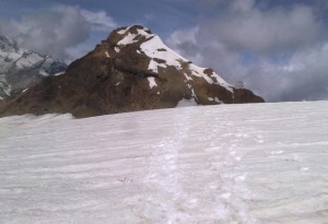
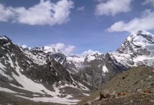
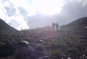
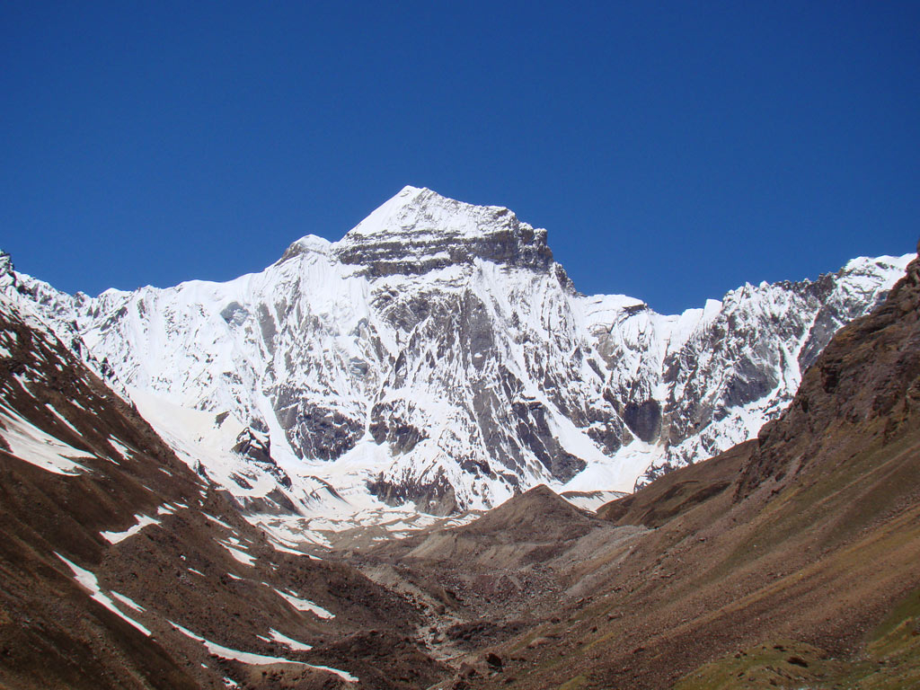
From Pandupul, the wide valley of the upper Parvati climbs gradually through the wide, high-altitude meadowland of Odi Thatch to the sacred site of Mantalai Lake (4100m), the source of the Parvati River. Continuing east from Mantalai Lake, it is possible to cross the Pin-Parvati Pass (5319m) into the Pin Valley National Park and on to the village of Mudh in the Lahul and Spiti district of Himachal Pradesh.
It is a very rock valley of Himachal Pradesh, often characterized by rocky outcrops and many alpine flower plantations. This valley has mica in abundant and provides sample opportunity for rock climbing to the people. It’s a back packer’s haven, therefore, is great for trekking location too. Adventure lovers flock to participate in the climbing expeditions held in this valley.
By Air: Nearest Airport: Bhuntar Airport near Kullu is the nearest airport, By Rail: Nearest Railway Station: Pathankot is the nearest railhead from the Parvati Valley, By Road: Regular bus services ply from Kullu, Manali and Chandigarh.